Emergency
Maps & Navigation for emergency responders
Special routing and offline functionality
for faster response and reliable service
3 most used features by emergency fleets
Emergency Vehicle routing
Allowing vehicles with special permission to make forbidden maneuvers and enter any road.
Reliable navigation when offline
Maps are stored on the device to keep navigating when broadband connectivity is not available.
Exact door-to-door navigation
Maps with exact house numbers, W3W search and the ability to Push destinations into the navigation.
German Police using Emergency vehicles routing
Using modified map data in combination with special routing algorithm, Sygic Professional Navigation can significantly improve response time by allowing vehicles with special permissions to make forbidden manoeuvrers, enter pedestrian zones and roads closed to regular traffic.
Learn more about Sygic routing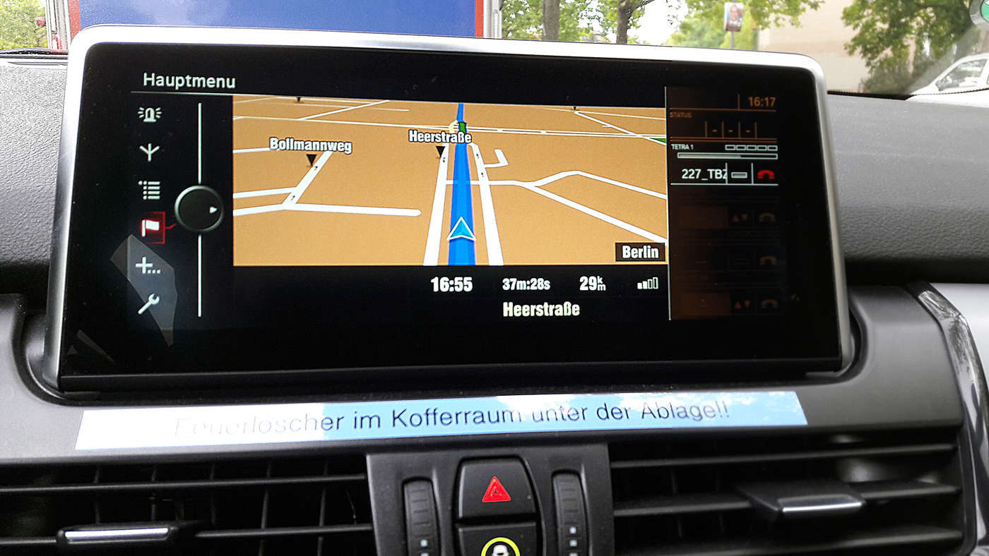
Using geofences to trigger 1st response faster
Geofences used in Sygic Professional Navigation allow areas on a map (geofence polygons) to be highlighted, given certain attributes and to track vehicles and assets present in this area. It is possible to use Geofences to notify the driver and the dispatcher in real time about an event inside the polygon, if the driver crosses the border or about his presence inside the geofence.
Geofence File Specification
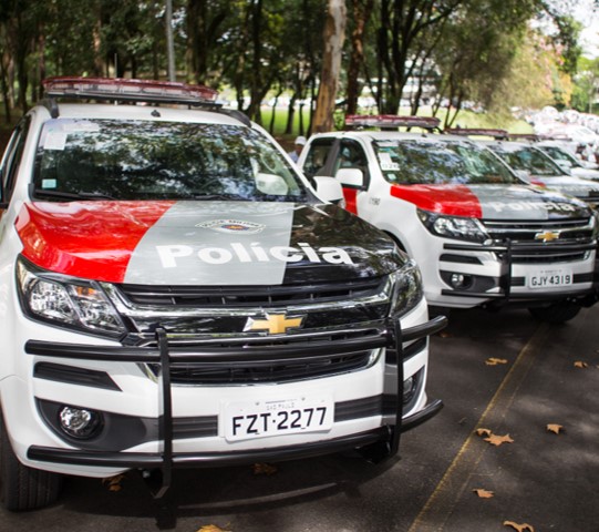
Military police in Sao Paolo is using Sygic integrated into Nastek solution to better organize more than 15,000 police cars.
Offline maps functionality for reliable service
Sygic Professional Navigation is often integrated with the mobile application used by ambulance driver to get navigated to the next intervention regardless of data coverage.
API functions such as NavigateTo and ReverseGeoCoding allow the dispatchers to push addresses from dispatch central directly onto the navigation. The drivers no longer have to manually fill in addresses making the intervention more accurate and as quick as possible.
The best thing about Sygic is that it was easy to integrate, it allowed for quick responses and it navigates us even in areas without internet connectivity.
We are saving lives, and Sygic helps us to be where we are needed quicker.
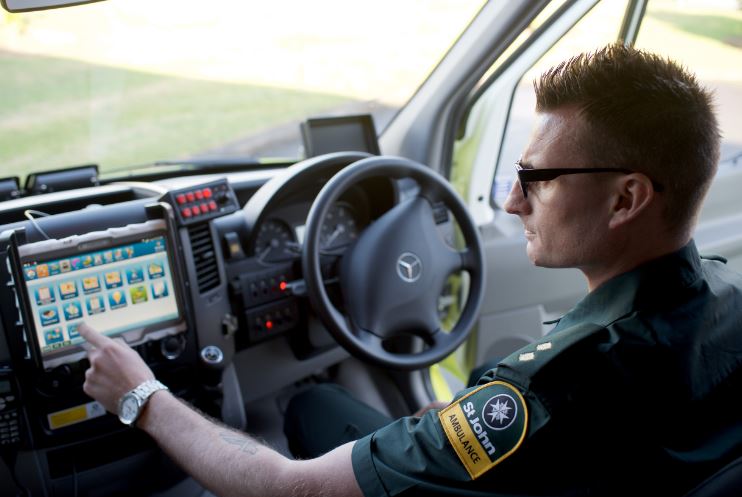
Integration with an advanced mapping system for firefighters
Sygic Professional Navigation can be used to calculate emergency routes to navigate fire trucks. The route can be displayed in the phase of approaching the destination in either sole or in the split view with other map and navigation sources (cartographic map, satellite view, street view, etc.), providing enhanced information for quicker response.
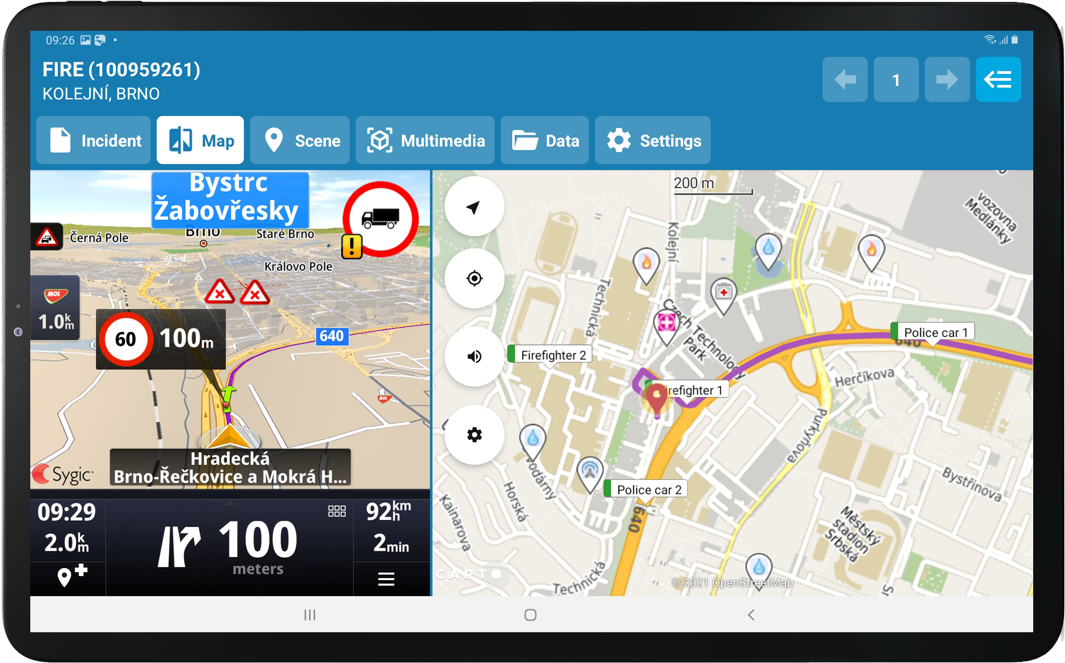
Send cash to exact location and monitor the mission
Dispatcher can set exact destination in the Sygic navigation app avoiding to disclose the destination beforehand or mistaken address input.
Dispatcher can use Sygic Professional Navigation to get information about the location and ETA in real time (using GetRouteStatus) and act if needed.
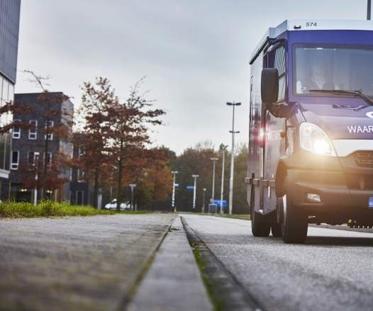
Cash transport vehicles in Netherlands and Estonia drive with Sygic Professional Navigation allowing flexible dispatch of the destination and avoiding unnecessary kilometres with valuable cargo on board.
Offline GPS navigation for the in-dash screen in fire engines
Sygic can be embedded as a professional navigation and routing feature into a built-in onboard solution directing emergency responders when broadband connectivity is not available.
Learn more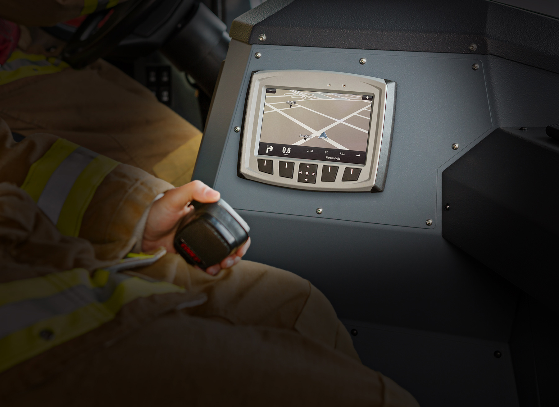
Let's Talk
Need a quote?
Want to try out the solution?
Need expert guidance?
Fill out this form, and we'll get back to you as soon as we can.
Not here for business?
Hop into our Support Center.


